Tall sand dunes, large hills, tight areas, and fast flowing riverbeds.
If those features sound appealing, you may want to tackle the hiking challenges available at five Indiana state parks. Each tests hikers with some of the most demanding terrain Indiana’s state parks have. Your rewards will be spectacular views, a sense of accomplishment, and a sticker from each challenge you complete.
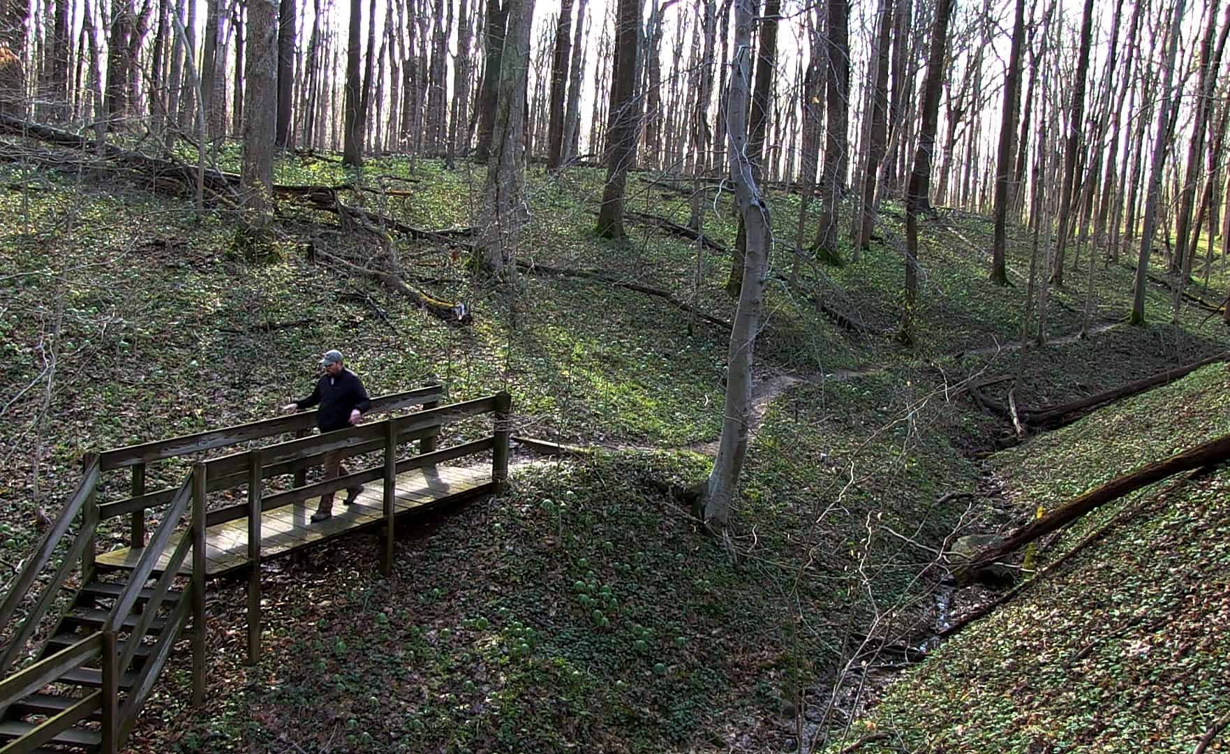
Turkey Run State Park’s Five Mile Challenge encompasses much of what makes the park one of Indiana’s most visited. The test begins at the Turkey Run Nature Center and crosses the suspension bridge into Rocky Hollow. The trail then goes through Falls Canyon Nature Preserve, the Camel’s Back, the Punch Bowl, a coal mine, and the Lusk Home, as well as some woodlands, before looping back.
“The upper woodlands have some big, beautiful trees, so don’t overlook that area,” said Aaron Douglass, interpretive naturalist at Turkey Run and Shades state parks.
Heading off the challenge trail at Rocky Hollow and exploring is an option, but will turn the five miles into six. The extra mileage could be worth it, as it goes through one of the most beautiful areas in the park, Douglass said.
For a similar experience to Turkey Run’s, with fewer crowds, try the Six Ravine Challenge at Shades. The trail is harder to follow because of the way all trails at the park were made. Turkey Run’s trails are more direct, while the Shades trails follow the contour of the land. The result is more of a zig-zag at Shades, Douglass said.

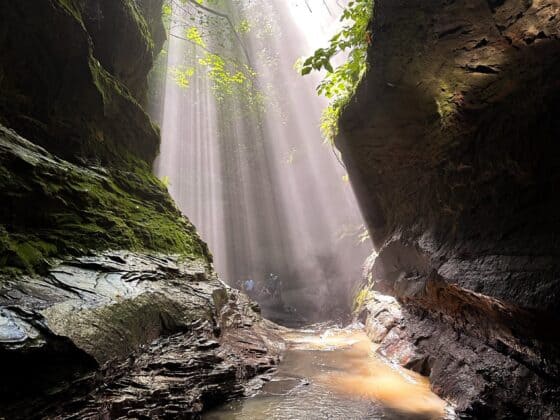
The trail follows the landscape into Shawnee Canyon, one of Douglass’ favorite locations at the two parks. Waterfalls can also be seen on the trail, which begins at the Hickory Shelter, which provides the only bathrooms along the journey.
By the numbers, 488 people completed Turkey Run’s Five Mile Challenge, while 152 have completed the Six Ravine Challenge in 2019. Stickers for both challenges can be obtained at the Turkey Run Nature Center.
To see faster moving water, try Clifty Falls State Park’s Four Falls Challenge. The trail leads walkers through the park’s most notable waterfalls along a four-mile stretch with rugged hills and valleys. Pick up a map at the Clifty Falls Nature Center or the front lobby of Clifty Inn, where you can also get a list of waystations that you need to photograph to earn your completion sticker.

Traveling along the challenge route also allows you to see some history. Part of the old railroad path that was meant to carry goods up and down the steep hillside out of Madison is visible along the trail, including a 600-foot long tunnel that can be entered from May 1 to Oct. 31.
Park interpretive naturalist Kayla Leach said spring is the best time
to do the challenge because that’s usually when the falls have the most water, but it’s a great hike any time of the year.
The challenge starts on Trail 4 and moves to Trail 5. Hikers will then need to move from Trail 5 to Trail 7 by car to complete the challenge. Plans to connect Trail 5 to Trail 6 and eliminate the need for a car ride are in the works.
The Three Dune Challenge at Indiana Dunes State Park is the shortest challenge trail, 1.5 miles, but it’s also one of the most intense. The trail climbs the three tallest dunes on Indiana’s Lake Michigan shore, 552 vertical feet in all, two of them in sand and one using stairs. There’s only one level area on the trail, a quarter mile through the campground on the way back to the Nature Center.
The scenery is worth the exertion.
“Once you catch your breath, there are beautiful views capturing different directions of the Lake Michigan landscape,” interpretive naturalist Marie Laudeman said.
The Chicago skyline can be seen from the top of one dune on clear days, and on top of another Indiana Dunes Nature Preserve is viewable to Michigan City.
Stickers are available from the Indiana Dunes Visitor Center in Chesterton after you have completed the trail. Challenge T-shirts and sweatshirts are available for purchase.
“Stickers provide people a lot of inspiration that they did it,” Laudeman said.
Pokagon State Park’s Hell’s Point Challenge also includes climbing. A visit to Hell’s Point, the park’s highest spot, which includes 84 stairs, is one of the focal points of an eight-mile journey that connects many of the park’s trails. Six different areas need to be photographed to get the completion sticker and a water bottle. Route maps can be picked up at the nature center.
The trail travels through many of the park’s features, including wetlands, deciduous forests, a prairie area, and the Potawatomi Nature Preserve boardwalk. Hikers can also see Civilian Conservation Corps structures and a spring shelter that houses an underground aquifer you can drink from.
“It’s a great overview of all we have to offer,” interpretive naturalist Nicky Ball said.
Which one of the five challenge trails is the hardest? You’ll have to hike them all to decide for yourself.


