By Amy Lynch
Not much has changed along the Knobstone Trail in the past, oh, 200 million years or so. And that’s exactly why hikers love it.
The Knobstone Escarpment was originally formed when rock strata pushed its way up through the earth to create a ridge of hills in what is now south central Indiana topography. Anchored on a foundation of limestone, shale and sandstone bedrock, the ridge is defined by high bluffs, or “knobs,” that punctuate the mostly wooded landscape.
The Knobstone Trail as we know it today — sometimes referred to as the “little AT” (Appalachian Trail) — took shape in the 1970s under the direction of a young state employee named Gerald Pagac, who later became the director of the Indiana Department of Natural Resources’ Division of Parks. The first 45-mile section of the “KT” was completed in 1981 with volunteer help from Scout troops and civic organizations.
Still owned and managed by the DNR, the entire backcountry Knobstone Trail is the longest footpath in Indiana, running 58 miles through Scott, Clark and Washington counties and covering some 42,000 acres of state forest land.
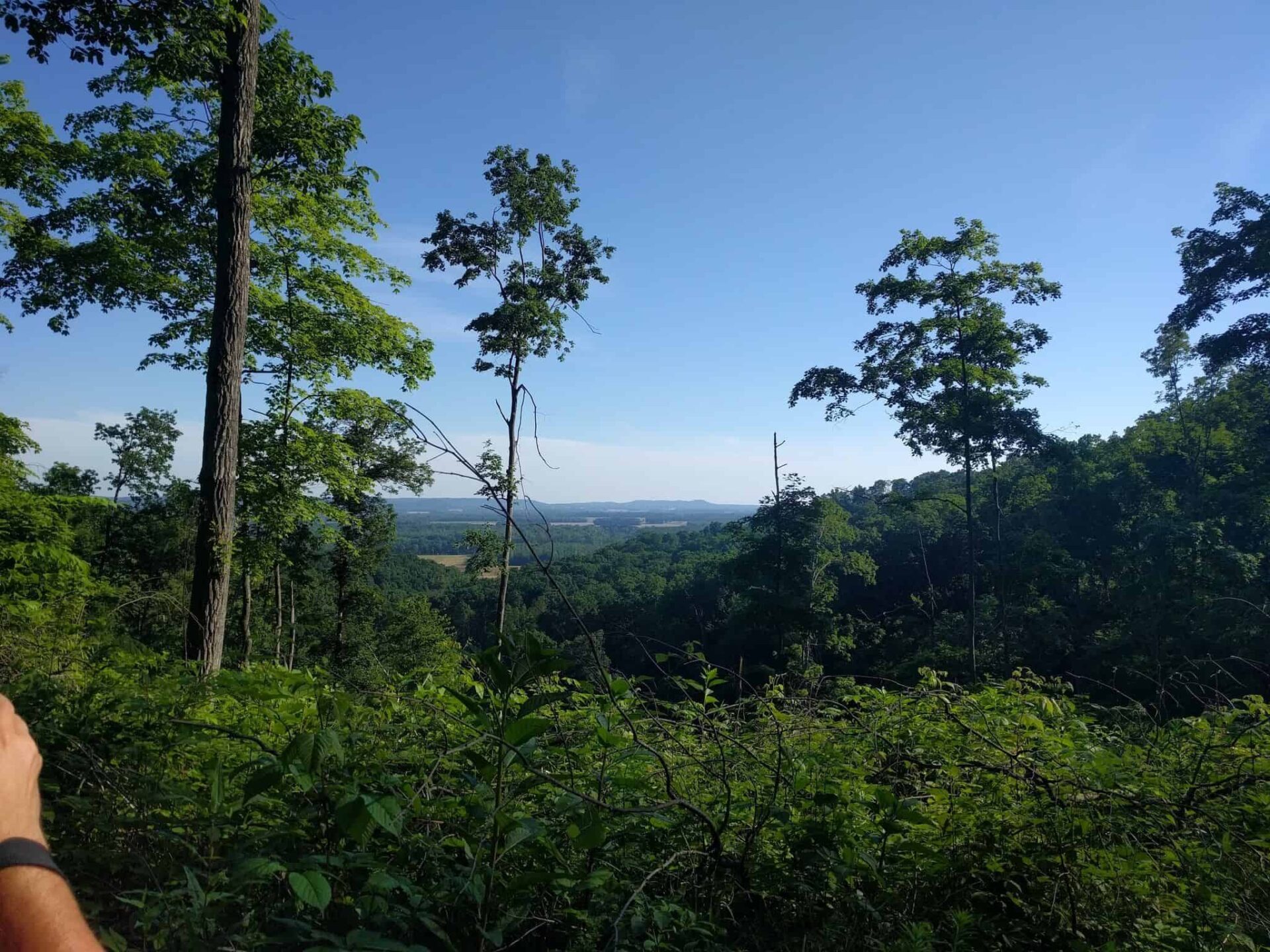
Each leg of the trail is distinctive with it owns features and scenery. The 44-mile northern section of the Knobstone from the Leota Trailhead to Delaney Park presents one of the more well-traveled routes, with several legs in the 15- to 20-mile range. Although there are several lookout points high along the ridge that reveal glimpses of the Louisville skyline across the Ohio River and other long views, most of the path is covered by tree canopy. The real appeal of the trail lies in the physical challenge it presents.
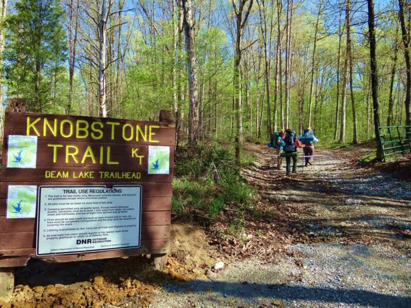
“The terrain is very intense with a couple hundred feet of elevation changes, particularly around the Leota Trailhead,” said Brandon Polley, Marketing Director for the Scott County Visitors Commission. “You can easily get out of breath in just a few minutes!”
Leave your bike at home — this rugged path is intended for foot traffic only. The trail is well marked with sections to accommodate day hikers of all skill levels, but Polley says he sees increasing numbers of backpackers aiming to take on the more demanding topography over the course of several days.
“You can camp for free pretty much anywhere along the trail,” he said. “There are a couple spots, like in Delaney Park, where you can get off the trail and camp at a campground, but most of it is very primitive where you’re just sleeping out in the woods.”
While the KT is used mainly by visitors from around the area, Polley says it also has a more widespread reputation.
“We get a lot of regional hikers, and the trail is known nationally as well,” he explained. “We try to help market it and promote it as one of our natural assets within the county. People come here from all over. I ran into a guy from Chicago who’d driven down here specifically to hike during the day; he stayed in a local hotel at night.”
Want to experience the Knobstone Trail for yourself?
“There are a lot of Facebook groups you can consult for advice,” Polley noted. “Most people like to do a leg of the trail — maybe Leota to Elk Creek, for instance, over a weekend because it’s so rugged. People definitely break it up. Not many do the entire trail at once, but it does happen.”
However long or short your hike, Polley strongly advises bringing along a hard-copy map.
“I recommend a paper map so you can track where you are in case your phone dies or loses its signal,” he said. “There are a few switchbacks and if you go off the trail, it’s easy to get lost.”
A few other helpful tips to keep in mind — be respectful of the native wildlife, watch out for ticks during the summer season, and plan on bringing in your own water, as there are no fountains, springs or viable sources along the way. (The same goes for bathrooms. Be prepared.)
For more information about the Knobstone Trail or to download a trail map, go to http://www.in.gov/dnr/forestry/4224.htm. Maps may also be purchased for $10 by calling the Indiana DNR customer service center at 317-232-4200, and are available for sale at several state forest and state recreation area points along the trail.


