By Jane Ammeson
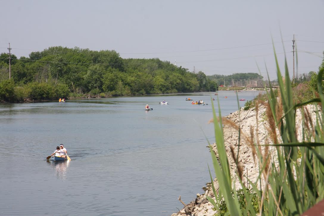
Glints of sunlight filtering through the canopy of trees sparkle on the waters of the east branch of the Little Calumet River. It ripples along through the quiet woods and traverses small bubbling rapids. Though much has changed since Native Americans and early settlers plied these waters, a feel for those long ago times can still be experienced on certain stretches of this pretty waterway.
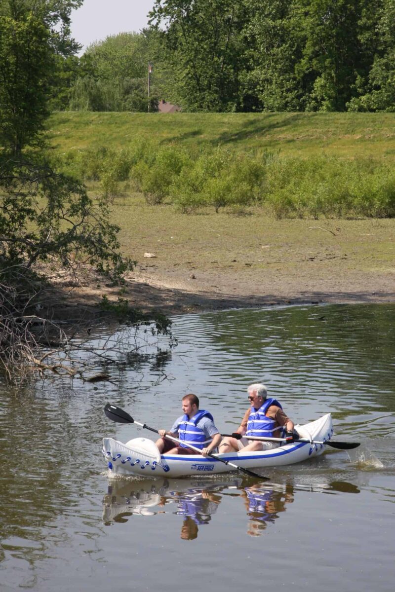
Both the east branch and the west branch (where several active eagle nests can be found) of the Little Calumet River are just one of several blueways in Northwest Indiana. These now pristine waters course through oak savannahs, prairies, woods, dunes, farmland and downtowns of small cities and large, creating lovely waterways perfect for all ranges and ages of paddling ability.
Their loveliness gives balance to the smokestacks and steel mills in this heavily industrial six-county area close to Chicago. “It’s nothing short of miraculous,” says Dr. Kenneth Schoon, author of the recently released Shifting Sands: The Restoration of the Calumet Region (Quarry Press 2016; $30) about the once-polluted waterways in the seven counties comprising Northwest Indiana.
They’ve now morphed into pristine rivers and creeks, creating recreational opportunities. “At one time the Grand Calumet which connects to the Little Calumet was the dirtiest river in the country.”
This historic clean-up came about because of the commitment of community activists, government entities, and corporations who all worked together to restore the natural beauty of an area that was at the turn of the last century still rugged and wild.
Calling it the second crowned jewel of the region (Lake Michigan is number one), Dan Plath, Chief of Resource Management at Indiana Dunes National Lakeshore as well as founder and past president of the Northwest Indiana Paddling Association (NWIPA), is often seen canoeing these waters with a chain saw in hand, ready to remove any logs that might impede progress. It was because of the hard work of volunteers that the Little Cal—as they call it around here—became traversable for the first time in 35 years. It was a feat that Plath says took around 2,000 hours of manual labor.
NWIPA, a non-profit organization dedicated to developing the region’s paddling resources and opportunities, and providing environmental stewardship of the region’s waterways, partners with other agencies in creating and maintaining some 200 miles of designated blueways. And they continue to work on more. Ensuring easy access with boat launches, including several that are ADA approved, and camping spots is another goal. Traveling by water was once the only way to get around here, and now environmental groups are dedicated to reopening these passageways.
Each water trail is unique, says Plath, who describes org the Deep River Trail—which follows the Deep River in RAIL Hobart, from the Lake George dam to another dam by Riverview Road in Lake Station—as very pretty.
“It’s almost all wilderness and has great birding,” he says, noting they’re working hard at getting people to learn and appreciate all the beauty of the region.
The headwaters of the 133-mile Kankakee National Water Trail, considered one of the cleanest rivers in the Midwest, begins near Walkerton, southwest of South Bend, and continues on to merge with the Illinois River near Joliet, Illinois. The first section of the trail, called the Upper River, travels through farmland until it meets the Yellow River. Here, the Wooded Channel section offers the most tree cover as it courses through several state parks and conservation areas before crossing the state line.
“It’s very serene, very historic and very popular,” says Mitch Barloga, Transportation Planning Manager for the Northwestern Indiana Regional Planning Commission (NIRPC), about this section of the trail which he describes as “very channeled.” Hang around with these paddlers and you soon learn the lingo, such as channelized, which means deep and often quickly running water.
Barloga, who specializes in non-motorized planning and is active in the development of both the blueways and greenways (walking and biking paths) in Northwest Indiana, says the Lake Michigan Water Trail, another multi-state waterway—this one stretching from north of Chicago and into Michigan—is also very popular.
In some ways, the southern section of the Lake Michigan Water Trail represents the unique blend of urban and rural of the region. The looming steel mills, awe inspiring in their own hulking way, rise above the lake in sections of Gary, East Chicago and Indiana Harbor, but there are also long stretches of pristine beaches including those of the Indiana Dunes State Park, Indiana Dunes National Lakeshore, and West Beach in Michigan City. Dotting the southern shore are small lakefront cottages and mansionesque beachfront homes. In Michigan City, the blueway continues on into Michigan or turns south becoming the Trail Creek Water Trail, a five-mile loop from the Lake Michigan to the stunning Friendship Botanical Gardens and back.
“Trail Creek is one of the best,” says Plath, though I quickly learn when talking to him that all blueways in Northwest Indiana are the “best.” Mention that and he laughs.
“Well, it’s like your children,” he says. For a detailed map of the Blueways Water Trail, visit www.greenwaysblueways.com.


